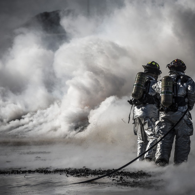
At the time of a catastrophe, there are several regional and global emergency mechanisms to support its management, but they cannot process information in real time and do not provide precise tools for decision-making.
Thanks to the Geointelligence Systems’ project, DRONECOP project, natural disaster management agencies will have access to critical catastrophic areas, which can be captured by an autonomous aircraft and will obtain accurate and updated 3D cartographic information, as well as georeferenced targets in real time. This will allow them to plan their missions and make quick decisions at critical moments in a much more effective way due to the objective information they will have. Thus, the number of deaths and injuries among their crews and the social, environmental and economic impact of disasters can be reduced.